Description
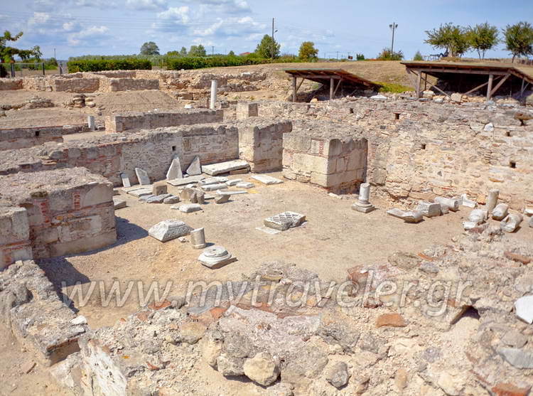
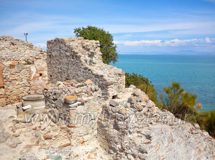
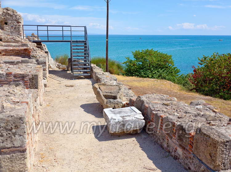
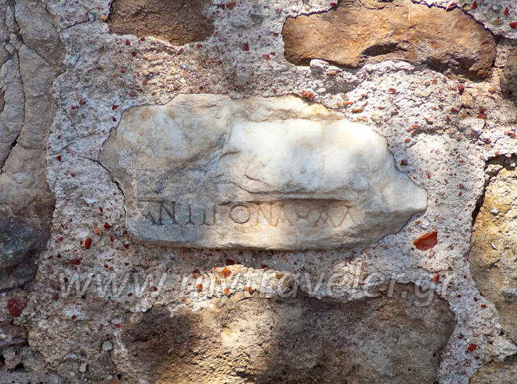
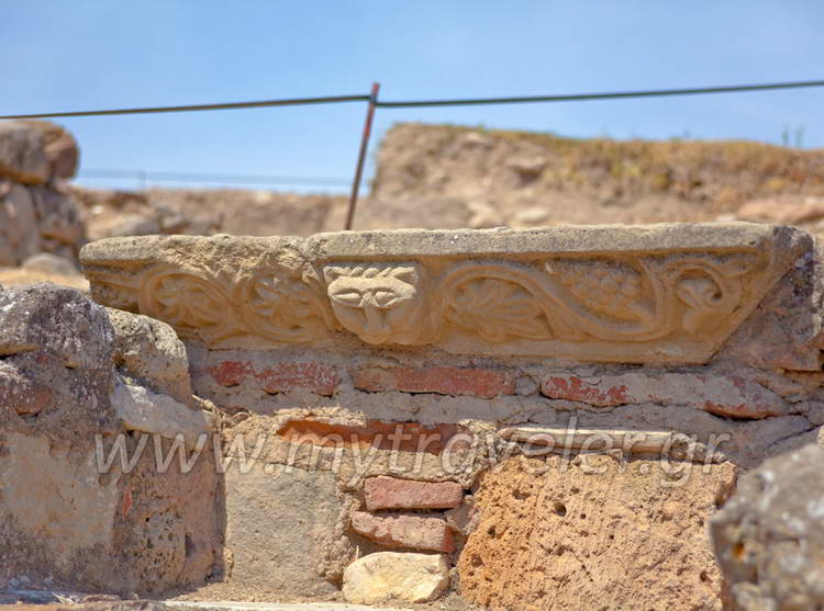
The ruins of the castle and the byzantine Episcopal church of Kitros, together with the west gate (facing the church), and the foundations of an inn, a bath-house and a small basilica, have been excavated by the 9th Ephorate of Byzantine Antiquities and are the only visible surviving remains of byzantine Pydna, which was given the name Kitros in the sixth to seventh century and was the most important city in Pieria until the fourteenth century. The 320x130m. castle, of which part of the north wall has been excavated, preserves two construction phases: the first (inner) phase dates to Justinian's reign(527-565) and consists of a wall 1,40m. Thick reinforced at intervals with rectangular towers; while the second (outer) phase dates to the tenth century. Inside the castle, parts of two Early Christian basilicas of the fourth and sixth centuries have been located, both dedicated to town's patron, St. Alexander. The later one was burnt down when the fortress was captured by the Bulgarians. At the end of the tenth century, a magnificent basilica was built in its place. Measuring 23.20x16.60m. with a dome and an ambulatory, and decorated with mosaics, frescoes, and splendid sculptures, it was the Episcopal church of Kitros.
In the eleventh and twelfth centuries, Kitros, which was the seat of a katepanikion in the theme of Berroia's developed into a pottery producing centre and a bustling commercial port, as is indicated by the excavation of a pottery workshop with a kiln and an inn with a bath-house of the twelfth century in the area of the harbor. Its heyday was cut short by the arrival of the Franks in 1204, who excavation data suggest must have taken the castle after a siege and then burnt the entire settlement down. They turned the charred ruins of the Episcopal church into an army camp and erected their ruler's tower in the sanctuary. They built a well with a marble rim on the site of the altar and in the apse a fryctoria (a kind of a beacon for transmitting signals to the coast opposite), and on the north side of the church they constructed a vaulted underground cistern, an underground escape door, and a kitchen for the military camp.
In 1343, during the civil war between Ioannis Palaeologos and the claimant to the throne, Ioannis Kantakouzinos, the castle was besieged and captured by the soldiers of the rightful Emperor Ioannis Apokafko, and in the autumn of the same year by the Turkish Admiral, Amour.
At the end of the 15th century the site was abandoned because of continual attacks by pirates, and the inhabitants moved to the site of present day Kitros.
Free entry. Monday-Friday 07:30-14:30
Published: 1 Jun. 2010
Add to favorite
- Information -
| GPS Coordinates |
| 40.397439 , 22.617241 |
| 40° 23' 50,7804"N , 22° 37' 2,0676"E |
Where to stay
accommodations located nearby
More Holiday Ideas
what else you can see here around
